Florida Signal field map · live
Search the block.
Current permit records, official neighborhoods, ZIP areas, heat, districts and the Broward corridor—one connected field view.
86 official neighborhood areas
The field desk.
Search the public record before you canvass—or before you fly in: an address, permit, contractor or kind of work. Then drop into the official City neighborhood map and see what is moving nearby.
Lead desk
Turn filings into a field list.
For contractors, developers, brokers and agents: qualify newly applied work by place, value, operator and scope—then open the underlying public record context.
Building the field list from application-dated records…
Lead means a public-record signal worth qualifying. It does not mean the owner is soliciting work, and Florida Signal does not sell private contact data.
Broward corridor lens
The station changes the radius.
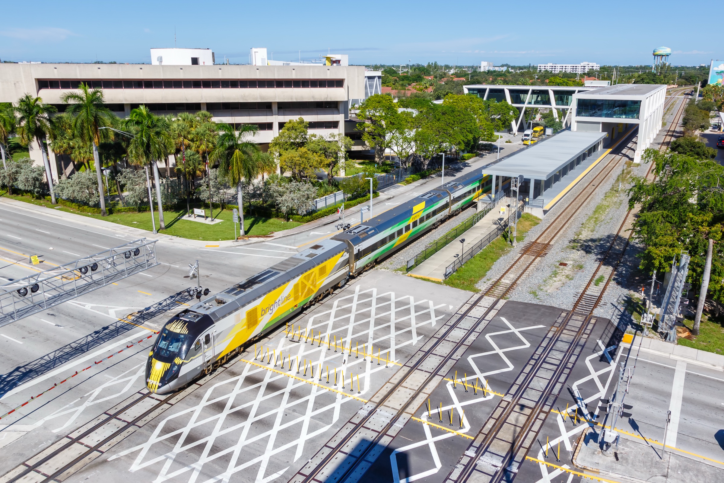
Florida Signal’s corridor layer gives brokers, developers and frequent fliers a quick way to read filings near the transportation spine. Use it to compare the Fort Lauderdale station area with downtown, airport, Hollywood and Pompano activity—then open the exact public records behind the points.
Open the Broward corridor layer ↑Editorial context only. Brightline is not shown as a sponsor or endorser.
Map standard
Counts describe the current map sample, not a complete neighborhood ranking. Boundary names and shapes are published by the City of Fort Lauderdale.
Read the method →