
Mobilization
—Openings, generators, seawalls, drainage, elevation and other hardening work now visible in the local record.
Map readiness →Atlantic basin + street-level readiness
Official outlook above. Local public-record movement below.

Readiness, already on the record
— hardening and recovery-type filings in the current mapped sample.
— window, door, shutter or opening filings in the same sample.
Reading application dates…
Signal Spyglass · Storm Readiness Spotlight
Roofs, openings, seawalls, drainage, elevation and generator work by application date.
Open the storm lens on the full map →Present this lensSponsor Storm Watch →This lens classifies permit scope—not cause or completed installation. A filing is not proof of storm damage. Every point opens the cited record, Street View and satellite investigation tools.
Reading the newest relevant permit filings…
Live storm operating picture
The desk shifts with the event: readiness records before impact, official status during response, and recovery filings after. Counts below describe the current local permit sample—not storm damage.
Openings, generators, seawalls, drainage, elevation and other hardening work now visible in the local record.
Map readiness →Official basin status stays distinct from local observations. Emergency guidance always comes from public authorities.
Open official status ↗Repair, restoration, roof and demolition records in the sample become the early paper trail of rebuilding.
Search recovery →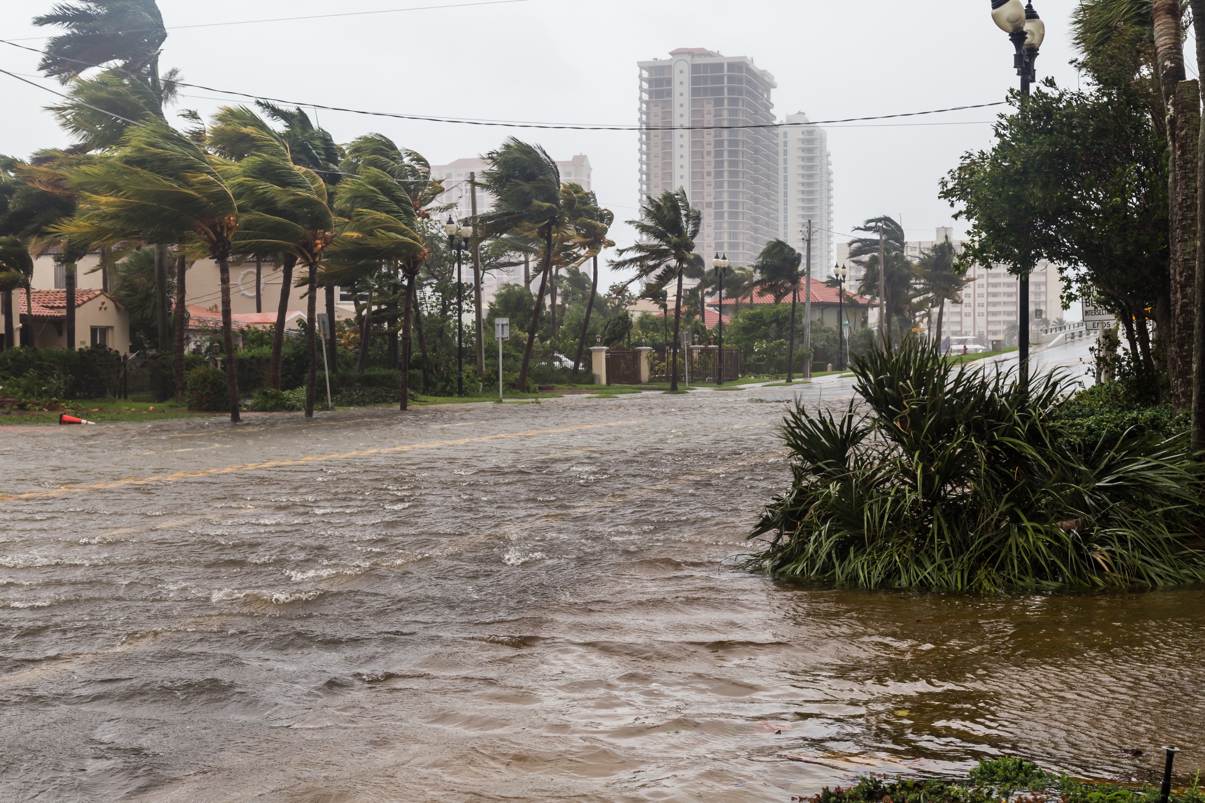
Hurricane Irma archive
This is a historical image from Hurricane Irma—not a picture of current conditions. Storm Watch is designed to preserve the full sequence: hardening and mobilization before a storm, official status during it, and the repair and recovery record after it.
Hurricane season is local
When the window changes, the Brief connects the official forecast to what matters on the ground.
Join the daily brief →